Multi Day Walking in Norway When the Forecast Turns Wet
A practical guide to Multi Day Walking in Norway When the Forecast Turns Wet.
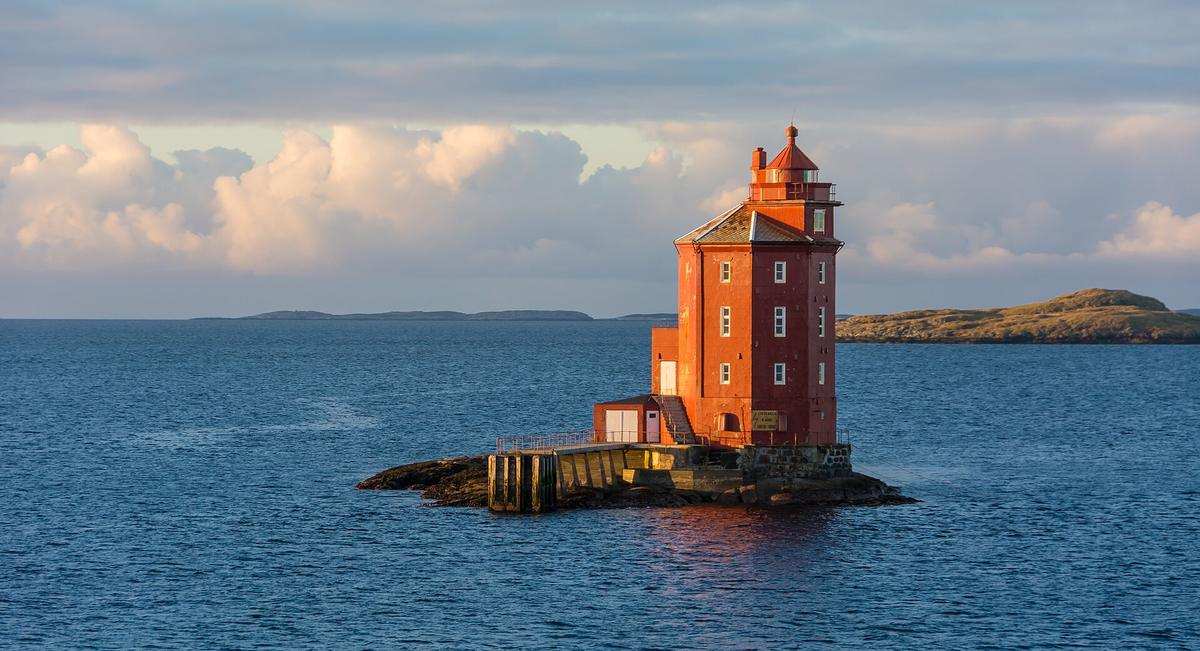

What wet weather actually means for a multi day walk in Norway
Rain on a Norwegian long distance route is not a single problem with a single fix. It changes what you can see, how fast you can move, which hazards are active and whether your planned overnight stop is still a good idea. The Norwegian Trekking Association puts it bluntly in rule 4 of the Mountain Code: be prepared for inclement weather and cold, even on short trips, because mountain weather changes quickly. That advice scales up sharply when you are carrying a multi day pack and committed to a route that may take you above the treeline for hours at a time.
What follows is not a list of generic rain gear recommendations. It is a decision framework built around the forecasting tools, hazard systems and route adaptation principles that Norwegian authorities and hiking organisations have developed specifically for this landscape. Every factual claim draws on published guidance from the Norwegian Meteorological Institute, the Norwegian Trekking Association and Varsom.no. Where a judgement call is required, the reasoning is laid out so you can apply it to your own route and dates.
Start with a summit specific forecast, not a city one
The single most important habit for wet weather planning in Norway is checking a point forecast for the highest point on your route, not the nearest town. The Norwegian Meteorological Institute and NRK jointly operate Yr.no, which provides point forecasts for specific mountain summits. A forecast for the valley floor can be misleadingly calm. Wind on Norwegian mountain summits is typically 1.5 to 2 times stronger than the figure given in a valley forecast. At 1,500 metres, 6 m/s in the valley can equate to 10 to12 m/s on a ridge. That difference turns a manageable drizzle into a sideways blast that makes progress slow and navigation harder.
When you read the Yr.no hourly forecast, pay attention to the probability of precipitation figure. A value such as60% means the model judges it60% likely that precipitation will fall in that period, not that it will rain for60% of the time. This distinction matters for decision making. A high probability over several consecutive hours suggests a reliable window of wet weather, while a scattering of lower probabilities may indicate showery conditions where you can time ridge crossings between bands of rain.
Editorial recommendation: before a multi day walk, check the point forecast for the highest pass or summit on each day of your itinerary. If the summit wind speed is forecast above12 m/s with precipitation probability above50% for multiple hours, consider whether that day's high terrain can be swapped for a lower alternative or whether a layover day at a cabin makes more sense.
Read the colour coded hazard warnings before you commit
Norway runs a three tier public warning system that translates meteorological data into straightforward action language. The Norwegian Meteorological Institute issues colour coded hazard warnings: yellow means challenging conditions where you should be attentive, orange means severe conditions requiring preparation, and red signals extreme danger where the priority is securing lives and property. A yellow warning specifically cautions that wind can make mountain travel hazardous, which is directly relevant to walkers on exposed multi day routes.
These warnings are consolidated alongside flood, avalanche and landslide warnings on Varsom.no, a single platform that lets you see overlapping hazards in one view. Hikers can subscribe to free email or SMS alerts so that a deteriorating forecast reaches you even when you are off the trail and on mobile data. This is not a background check to do a week before departure. It is a tool to consult each evening when you have connectivity, so the next day's decisions are based on the most recent warning picture.
Editorial recommendation: if an orange warning is active for the region and date of your planned high traverse, treat the route as closed unless you have a verifiable lower alternative already mapped. A yellow warning does not automatically mean stay put, but it should trigger a deliberate review of escape options and bail out points along the day's route.
Adapt the route when cloud and rain close in
The Norwegian Trekking Association offers concrete wet weather advice that goes beyond wearing a waterproof jacket. In rainy conditions, DNT recommends choosing a cabin over a tent, dropping routes in exposed high terrain, and instead walking at lower elevations. The reasoning is specific to Norwegian mountain topography: cloud cover sits lower in rain, producing fog and poor visibility at altitude. A ridge walk that would be straightforward in clear weather becomes a navigation exercise in thick cloud, with few visual references and a real risk of drifting off route.
This is where UT.no, Norway's largest trip planner run by DNT, becomes a practical tool for in trip adaptation. The platform includes weather forecasts, a terrain steepness layer showing avalanche runout zones, and allows downloading offline maps for areas without mobile coverage. Before you set out, or during an evening in a cabin with Wi Fi, you can study alternative lower elevation segments and identify where a valley floor trail or a forest road can replace an exposed high section. Having that alternative already downloaded on your phone means you are not improvising a reroute on a soggy paper map in the rain.
Rule8 of the Norwegian Mountain Code states: turn around in time, there is no shame in turning around. It advises continuously reassessing plans and choosing a plan B long before exhaustion sets in. In wet weather, that reassessment point should come earlier than on a dry day, because rain accelerates heat loss and fatigue, narrowing the margin for error.
Rivers rise fast and bridges have seasons
Heavy rain transforms Norway's watercourses quickly. A small, harmless summer stream can become a powerful torrent, and DNT advises hikers to study the map for river crossings and check the weather forecast before setting out. This is not a theoretical concern on a multi day route where a single unfordable river can cut off access to your planned overnight stop and force a long backtrack.
Glacier fed rivers add another layer of timing. They follow a daily melt cycle and are strongest in the afternoon and evening during summer. A river safe to wade at7 am can be dangerous by2 pm, so crossings should be planned early in the day. If heavy rain coincides with warm afternoon temperatures, the combined effect of rainfall and meltwater can push a crossing from manageable to impassable within hours.
Do not assume bridges will be in place. DNT summer bridges over rivers are generally deployed from1 July to mid September and are then dismantled. On trail maps, bridges marked "S" are summer bridges and "H" indicates year round bridges. If you are walking in late June, early autumn or after a winter with heavy snowpack that delays bridge deployment, a crossing marked as bridged on your map may not be bridged in reality. Check the DNT summer bridge status page before departure. If the status is unconfirmed for your route, plan your days as though the bridge is absent and identify an alternative crossing point or a route that stays on one side of the watercourse.
Overnight decisions when everything is wet
DNT's guidance is direct: in wet weather, choose a cabin over a tent. The reasoning is practical rather than comfort driven. Pitching a tent in persistent rain on saturated ground is slower, the interior stays damp, and drying gear becomes impossible. A staffed lodge or self service cabin gives you a dry space to hang wet clothing, recharge electronics and study the next day's forecast. Rule4 of the Mountain Code instructs hikers to bring extra clothing, extra food and drink, and that spare layer becomes critical when you arrive at camp wet and need to stay warm while cooking.
Under Norway's Right to Roam, you may pitch a tent on uncultivated land for up to two nights provided you stay at least150 metres from the nearest inhabited house or cabin. In remote mountain areas you may stay longer. This legal right does not vanish in rain, but the practical calculus shifts. A tent pitch that is legally permissible and pleasant in dry weather may be waterloged, exposed to rising streams or simply miserable after hours of rain. If you are carrying a tent as your primary shelter, identify cabin alternatives along your route before you start, and know the opening dates and bed availability. Some staffed lodges and self service cabins close from mid October to mid February. Check DNT's cabin booking platform and UT.no for the current status on your dates.
Editorial recommendation: on a multi day route with a wet forecast, build your itinerary around cabin to cabin segments where possible, reserving tent nights for stretches where no cabin exists. If a cabin is full or closed, have a low elevation tent alternative already scouted, not a high exposed pitch that will be wind lashed and cloud bound.
A pre trip checklist for wet weather walking
The Norwegian Mountain Code's rule3 states plainly: pay attention to weather and avalanche forecasts. It directs hikers to yr.no, tv2.no/vaer and varsom.no for trip forecasts. Building a wet weather routine around these sources turns an anxious gamble into a series of checkable decisions.
Before departure, confirm the summer bridge status on your route and note which crossings are marked "S" versus "H" on the map. Download offline maps for your planned route and at least one lower elevation alternative on UT.no. Subscribe to hazard alerts for your hiking region on Varsom.no. Check the point forecast on Yr.no for the highest summit on each day. If an orange or red warning is active, identify which sections of your route are affected and what the bail out options are. Pack extra clothing, extra food and drink as the Mountain Code instructs, and accept that a wet multi day pack will be heavier than a fair weather one.
Once on the trail, repeat the forecast check each evening. Compare the next day's summit wind speed and precipitation probability against your planned route. If rivers are on the itinerary, note the time of the highest meltwater flow and plan crossings for early morning. If cloud is forecast to sit low, switch to the lower route you already downloaded. And if conditions deteriorate beyond what you prepared for, remember rule8. Turning around is not a failed trip. It is a decision that preserves your ability to walk another day.
Sources and verification
Read next
-
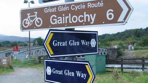 West Highland Way or Great Glen Way Which Walk Fits You
A practical guide to West Highland Way or Great Glen Way Which Walk Fits You.
-
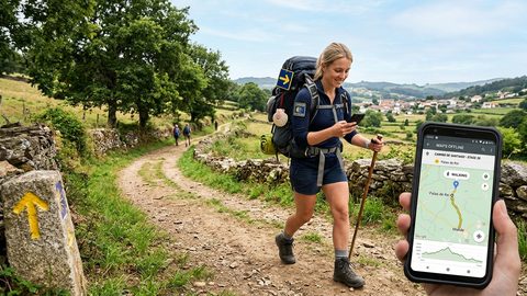 Walking the Camino de Santiago With Offline Maps and a Phone That Works
Plan your Camino phone setup with offline stage maps, saved accommodation contacts, sensible battery habits, and realistic expectations for mobile coverage.
-
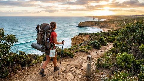 Walking Australia's Long-Distance Trails Without a Tour Company
Plan the Bibbulmun, Larapinta, and Overland Track without a tour company. Real permit costs, resupply gaps, and honest nightly budgets.
-
 SIMs, eSIMs and Staying Connected on Long-Distance Walking Routes
Honest look at mobile connectivity on long-distance walking routes. Real costs of local SIMs vs eSIMs, rural coverage gaps, and activation headaches in border zones.