Solo Long Distance Walking A Check In and Bailout Plan
A practical guide to Solo Long Distance Walking A Check In and Bailout Plan.
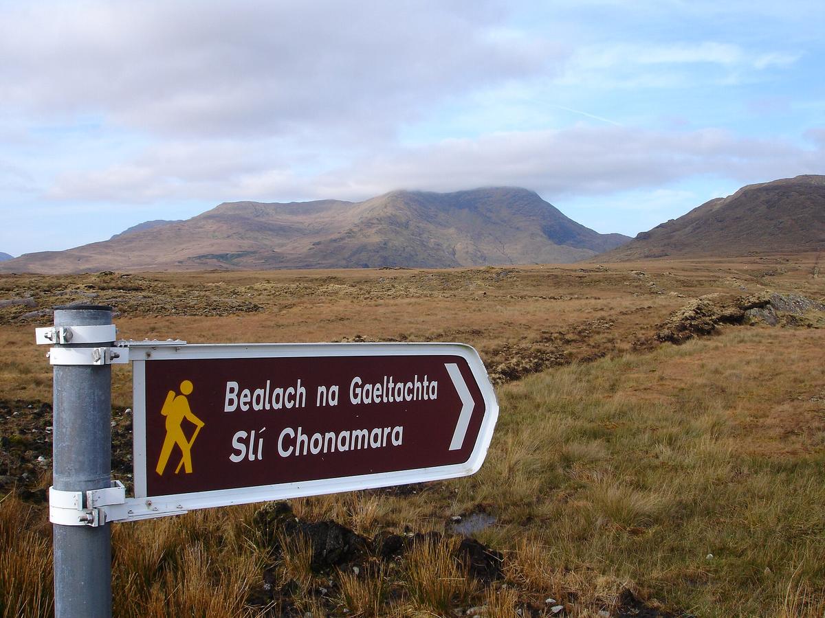

Why a written plan is non-negotiable for solo walkers
Walking alone over long distances strips away the safety net of a companion who can go for help. The single most effective counterweight is a written trip plan left with a trusted contact who is not on the trip. That document should detail your route, daily checkpoints, planned exit point, vehicle description, every communication method you intend to carry, and the phone number of the managing agency for the area. Without it, a search effort begins with almost no information. With it, the person who raises the alarm can hand a sheriff or park ranger a complete operational picture before the first responder even leaves the station.
The U.S. National Park Service offers a fillable Trip Plan template, Form 10-1700, that captures exactly these fields for both day and overnight trips. It asks who is going, where and when, activity details, equipment carried, and backup plans. The NPS is clear on one point that surprises many walkers: you do not file this plan with the park. Parks will not accept or monitor trip plans. The document belongs in the hands of your trusted contact, and nowhere else.
The overdue alarm that actually works
A vague instruction like "call if you don't hear from me" is a plan to waste critical hours. A functional trip plan includes a specific overdue alarm time, a hard deadline after which the trusted contact should call authorities. That time should account for the full check-in window you have promised, not the moment you expect to finish. If you said you would check in by 7 p.m., the alarm might be set for 9 p.m. to absorb a dead battery or a brief navigational pause. Once that clock expires, the contact acts.
The escalation sequence matters as much as the deadline. The trusted contact should first try both communication methods you listed. If those fail, they check whether you might have switched to an alternate itinerary you described in the plan. Only when those steps are exhausted, and the alarm time has passed, do they call the named agency and provide the full trip plan. This written sequence removes guesswork from a moment that will already be stressful.
Who to call and what numbers to have ready
In the United States, backcountry search and rescue is generally organised through the county sheriff. National parks are the exception and often run their own SAR teams. This jurisdictional split means your trusted contact cannot simply dial 911 and assume the call will route correctly, especially if you are walking through remote terrain that crosses county lines. Before you depart, your contact should know the specific county of your trip and have both the 911 number and the non-emergency sheriff's number for that county saved. If your route enters a national park, the park's own emergency contact details replace the sheriff as the primary number.
County sheriff SAR contact numbers and national park SAR jurisdiction boundaries vary. Confirm the correct agency and non-emergency number for your specific route before departure by checking the individual county sheriff website or the official website of the national park you will enter.
Bailout points as a decision-making tool
A bailout point is a pre-identified intersecting trail, road, or shortcut that leads to safety and is shorter than completing the full route. It is not an admission of failure. It is a decision made on a map, in a clear-headed moment at home, so that you are not forced to make it in deteriorating weather or with a worsening injury. Every committing section of a route should have at least one bailout point marked. When you reach that junction, you assess your condition, your water, the sky, and the clock, and you choose whether to continue or exit.
Marking bailout points also gives your trusted contact a framework for understanding a change of plan. If your trip plan notes that you might exit via a specific forest road if progress is slow, and you later check in from a town on that road, nobody panics. The plan accommodated the deviation before it happened.
Choosing between a PLB and a satellite messenger
Two devices dominate the conversation about solo backcountry communication, and they serve different philosophies. A personal locator beacon, or PLB, transmits a one-way SOS distress signal on the 406 MHz frequency via the international Cospas-Sarsat satellite network. It requires no subscription, and U.S. federal law requires every 406 MHz PLB owner to register their beacon with NOAA and renew that registration every two years. Failure to register can result in fines. The tradeoff is stark: a PLB can summon help anywhere on the planet, but it cannot tell anyone what is wrong, and it cannot send or receive custom messages.
A satellite messenger device allows two-way messaging, custom check-in texts, and location sharing. That capability comes with a paid subscription and the need to recharge the device before each trip. The editorial choice between the two rests on how you weigh certainty against nuance. A PLB is a single-purpose emergency tool with no recurring cost and a legal registration requirement. A satellite messenger is a communication platform that can prevent a search from starting at all, because a delayed walker can text "safe, moving slowly, will check in tomorrow" before the alarm time expires. Subscription costs and plan features change, so verify current pricing directly with the device manufacturer, such as Garmin, SPOT, or ZOLEO, before purchase.
What to do if you become lost
The NPS advises a simple protocol that is easy to recall under stress. Stop moving the moment you realise you are unsure of your position. Attempt self-rescue by retracing your steps only if it is safe to do so and you are confident of the direction you came from. If you cannot regain the route, stay put. Conserve energy, make yourself visible, and signal with a whistle or flashlight using the SOS pattern: three short, three long, three short. Movement makes you harder to find, and a solo walker who continues pushing forward after becoming lost can turn a contained situation into an extended search across multiple drainage basins.
This advice connects directly back to the trip plan. When you stay put, you are acting on the assumption that someone knows your route, knows your overdue alarm time, and will initiate a search that begins at your last known checkpoint. That assumption is only valid if you left the plan with a trusted contact before you started walking.
Sources and verification
- knowoutdoor.com — Research source checked for this guide
- nps.gov — Research source checked for this guide
- nps.gov — Research source checked for this guide
- trekfreely.org — Research source checked for this guide
- pcta.org — Research source checked for this guide
- topomaps.co — Research source checked for this guide
Common Questions
Should I file my trip plan with the national park I am visiting?
No. The National Park Service instructs visitors to leave the Trip Plan with a trusted contact, not with the park itself. Parks will not accept or monitor trip plans.
What is the difference between a bailout point and an alternate route?
A bailout point is a specific intersecting trail, road, or shortcut that leads to safety and is shorter than completing the full route. An alternate route is a different path to the original destination. A bailout point is about shortening or exiting the trip; an alternate route is about finishing it differently.
Do I need a subscription for a personal locator beacon?
No. A PLB transmits on the 406 MHz frequency via the Cospas-Sarsat satellite network and requires no subscription. However, U.S. federal law requires you to register the beacon with NOAA and renew that registration every two years.
Read next
-
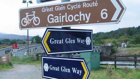 West Highland Way or Great Glen Way Which Walk Fits You
A practical guide to West Highland Way or Great Glen Way Which Walk Fits You.
-
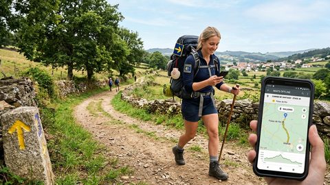 Walking the Camino de Santiago With Offline Maps and a Phone That Works
Plan your Camino phone setup with offline stage maps, saved accommodation contacts, sensible battery habits, and realistic expectations for mobile coverage.
-
 Walking Australia's Long-Distance Trails Without a Tour Company
Plan the Bibbulmun, Larapinta, and Overland Track without a tour company. Real permit costs, resupply gaps, and honest nightly budgets.
-
 SIMs, eSIMs and Staying Connected on Long-Distance Walking Routes
Honest look at mobile connectivity on long-distance walking routes. Real costs of local SIMs vs eSIMs, rural coverage gaps, and activation headaches in border zones.